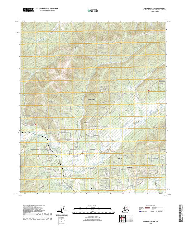
2024 Map of Fairbanks D-2 NW
USGS Topo · Published 2024About this map
Goldstream and the surrounding interior valleys north of College are defined by a complex network of residential drives and historic trails that follow the winding drainages of Goldstream Creek. This contemporary survey shows the modern residential expansion of Fairbanks North Star Borough into once-remote areas, where named neighborhoods like Musk Ox and Dogpatch have taken root alongside older landmarks like Hardrock Field.
Find a feature on this map
114 named features on this map. Tap any name to fly to it.
Don’t see what you’re looking for? This feature index may not catch every label — zoom into the map to look around manually.
Map Details
Editions of this 2024 Fairbanks D-2 NW Map
This is the sole edition of this map. No revisions or reprints were ever made.
Other maps of this area

1945 · Livengood
USGS Topo · 1:250,000

1949 · Fairbanks D-2
USGS Topo · 1:62,500

1949 · Fairbanks D-3
USGS Topo · 1:63,360

1950 · Fairbanks
USGS Topo · 1:250,000

1950 · Fairbanks D-3
USGS Topo · 1:63,360

1951 · Fairbanks
USGS Topo · 1:250,000

1951 · Livengood
USGS Topo · 1:250,000

1952 · Fairbanks D-2
USGS Topo · 1:63,360

1952 · Fairbanks D-3
USGS Topo · 1:63,360

1952 · Fairbanks
USGS Topo · 1:250,000