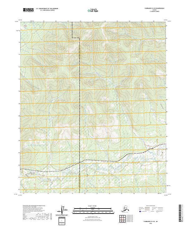
2024 Map of Fairbanks D-4 SE
USGS Topo · Published 2024About this map
The boundary between the Fairbanks North Star Borough and Yukon-Koyukuk Census Area bisects this interior Alaskan landscape, characterized by the winding drainage systems of the Tanana Valley. The settlement of Standard serves as a primary point of reference, situated near the confluence of Standard Creek and the broader wetland reaches of Goldstream Creek. The terrain is defined by a series of north-south running ridges and valleys that channel seasonal runoff through Glacier Creek and the Left Fork Cache Creek. This modern survey illustrates the persistent isolation of the region, where infrastructure is limited to corridors like Cache Creek Road, which provide essential access through the dense woodland and muskeg environments typical of the Alaskan interior.
Find a feature on this map
13 named features on this map. Tap any name to fly to it.
Don’t see what you’re looking for? This feature index may not catch every label — zoom into the map to look around manually.
Map Details
Editions of this 2024 Fairbanks D-4 SE Map
This is the sole edition of this map. No revisions or reprints were ever made.
Other maps of this area

1949 · Fairbanks D-3
USGS Topo · 1:63,360

1949 · Fairbanks D-4
USGS Topo · 1:63,360

1950 · Fairbanks
USGS Topo · 1:250,000

1950 · Fairbanks C-3
USGS Topo · 1:63,360

1950 · Fairbanks C-4
USGS Topo · 1:63,360

1950 · Fairbanks D-3
USGS Topo · 1:63,360

1951 · Fairbanks
USGS Topo · 1:250,000

1952 · Fairbanks C-4
USGS Topo · 1:63,360

1952 · Fairbanks D-3
USGS Topo · 1:63,360

1952 · Fairbanks D-4
USGS Topo · 1:63,360