Loading...
Loading map...1950 Map of Fairbanks
USGS Topo · Published 1955About this map
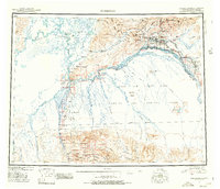
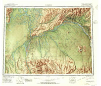
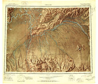
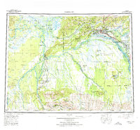
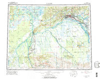
Fairbanks serves as the focal point of this mid-century reconnaissance, situated at the confluence of the Chena River and the braided channels of the Tanana River. The landscape reveals a critical hub of Alaskan transport and defense, where the Alaska Railroad meets the Richardson Highway. To the west, the University of Alaska at College marks the region's educational center, while the massive footprint of Ladd Air Force Base and its Bombing and Gunnery Range dominates the terrain to the south.
Find a feature on this map
89 named features on this map. Tap any name to fly to it.
Don’t see what you’re looking for? This feature index may not catch every label — zoom into the map to look around manually.
Map Details
Date Portrayed1950
Date Published1955
PublisherU.S. Geological Survey
Map TypeTopographic
Scale1:250,000
Physical Dimensions26.7 x 23 inches
Editions of this 1950 Fairbanks Map
2 editions found
Historical Maps of Fairbanks Through Time
5 maps found
Featured Locations
Source Details
SourceU.S. Geological Survey
CopyrightPublic Domain