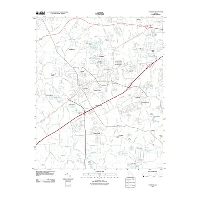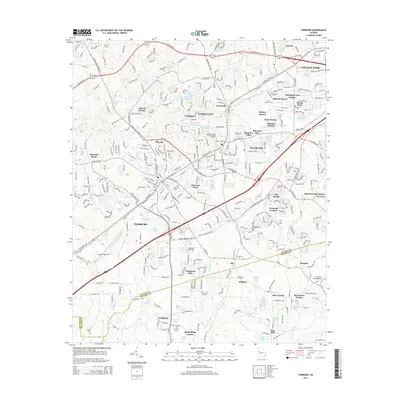
2024 Map of Fairburn
USGS Topo · Published 2024About this map
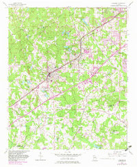
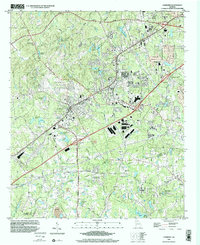
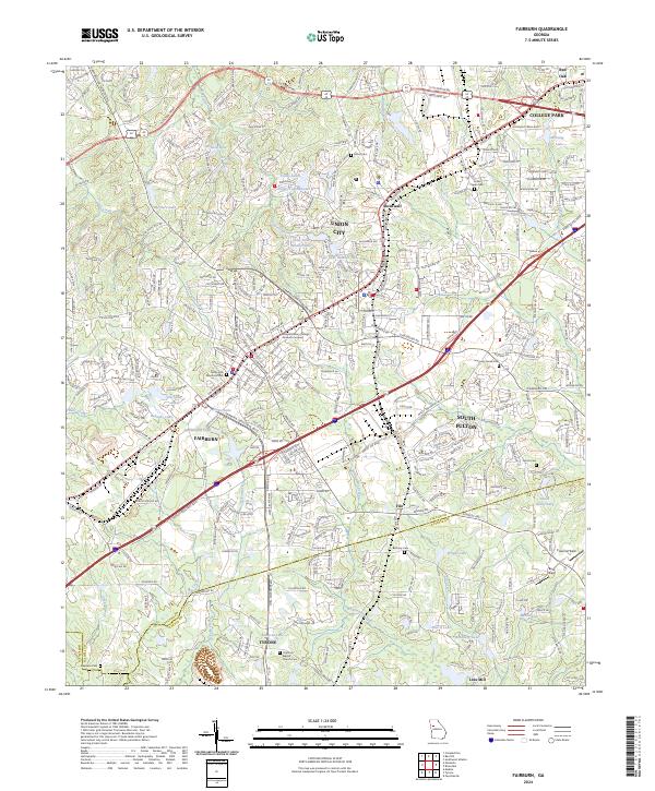
Fairburn and Union City anchor this modern topographic view of the southwest Atlanta metropolitan area, showing a landscape defined by significant residential expansion and commercial corridors. The map details the developed interfaces of South Fulton and College Park, where major arteries like S Fulton Pkwy and Fairburn Industrial Blvd facilitate the region's transport economy. Amidst this growth, numerous cemeteries such as The Rock Baptist Church Cem, Bethany Cem, and Peters Cem offer essential points of interest for genealogists tracing local family histories.
Find a feature on this map
60 named features on this map. Tap any name to fly to it.
Don’t see what you’re looking for? This feature index may not catch every label — zoom into the map to look around manually.
Map Details
Editions of this 2024 Fairburn Map
This is the sole edition of this map. No revisions or reprints were ever made.
Historical Maps of Union City Through Time
7 maps found