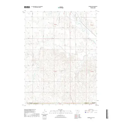
2017 Map of Fairbury SW
USGS Topo · Published 2017About this map
The Little Blue River winds through the northeastern corner of this 2017 survey, defining the agrarian landscape along the border between Nebraska and Kansas. The terrain is deeply carved by a network of drainage systems, including Brawner Cr and Silver Cr, which flow through the dissected plains of Jefferson County. For genealogists and local historians, the Silver Creek Cem serves as a significant landmark, situated near King Rd in the western half of the map. This area is characterized by a regular grid of section roads like 708th Rd and Jade Rd, reflecting the enduring structure of the Public Land Survey System. In the northern reaches, the Haake Reservoir sits near the headwaters of local drainages, while the southern boundary follows the state line between Nebraska and Kansas, where the landscape transitions into Washington County.
Find a feature on this map
29 named features on this map. Tap any name to fly to it.
Don’t see what you’re looking for? This feature index may not catch every label — zoom into the map to look around manually.
Map Details
Editions of this 2017 Fairbury SW Map
This is the sole edition of this map. No revisions or reprints were ever made.
Other maps of this area

1893 · Washington
USGS Topo · 1:125,000

1955 · Manhattan
USGS Topo · 1:250,000

1955 · Lincoln
USGS Topo · 1:250,000

1956 · Manhattan
USGS Topo · 1:250,000

1957 · Manhattan
USGS Topo · 1:250,000

1957 · Lincoln
USGS Topo · 1:250,000

1958 · Lincoln
USGS Topo · 1:250,000

1960 · Fairbury SW
USGS Topo · 1:24,000

1960 · Reynolds
USGS Topo · 1:24,000

1960 · Fairbury
USGS Topo · 1:24,000