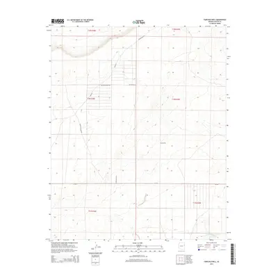
2014 Map of Fairchild Well
USGS Topo · Published 2014About this map
Fairchild Well serves as a primary landmark in this corner of the high desert, where water sources dictate the placement of ranching outposts and roads. The landscape is defined by the ephemeral Hardscrabble Wash and a network of ranching infrastructure, including the Long H Ranch and Cedar Mesa Rnch. These hubs are connected by primitive tracks like Bar Nothing Ranch Rd and Hardscrabble Rd, illustrating the persistence of livestock grazing in the arid Southwest.
Find a feature on this map
22 named features on this map. Tap any name to fly to it.
Don’t see what you’re looking for? This feature index may not catch every label — zoom into the map to look around manually.
Map Details
Editions of this 2014 Fairchild Well Map
This is the sole edition of this map. No revisions or reprints were ever made.
Other maps of this area

1886 · St Johns
USGS Topo · 1:250,000

1886 · Fort Defiance
USGS Topo · 1:250,000

1892 · Fort Defiance
USGS Topo · 1:250,000

1892 · St Johns
USGS Topo · 1:250,000

1954 · Saint Johns
USGS Topo · 1:250,000

1954 · Gallup
USGS Topo · 1:250,000

1957 · Saint Johns
USGS Topo · 1:250,000

1958 · Gallup
USGS Topo · 1:250,000

1958 · Saint Johns
USGS Topo · 1:250,000

1959 · Gallup
USGS Topo · 1:250,000