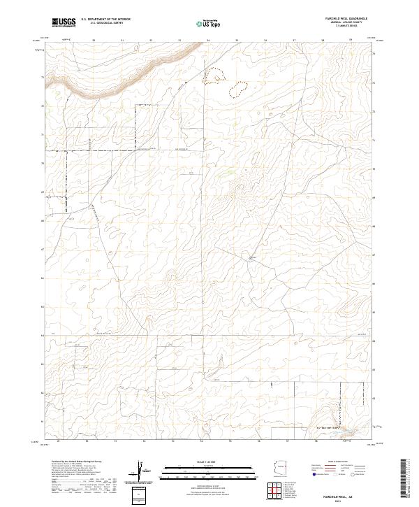
2021 Map of Fairchild Well
USGS Topo · Published 2021About this map
Fairchild Well serves as a central landmark in this high-desert reach of eastern Arizona, located within the sprawling ranching lands of the Colorado Plateau. The landscape is defined by an intricate network of rural corridors, including the curiously named Coca Cola Ave and Bar Nothing Ranch Rd, which provide access to remote pastures and section lines. The topography is largely shaped by the drainage patterns of Hardscrabble Wash, which snakes through the southeastern corner of the quadrangle. This 2021 survey illustrates the modern persistence of traditional land divisions, with property boundaries and access routes like Apache Co 7230 Rd maintaining the historic township and range framework. The presence of several numbered survey markers, such as n7235 and n7143, underscores the continued importance of precise geographic inventory in this sparsely populated region of Apache County.
Find a feature on this map
26 named features on this map. Tap any name to fly to it.
Don’t see what you’re looking for? This feature index may not catch every label — zoom into the map to look around manually.
Map Details
Editions of this 2021 Fairchild Well Map
This is the sole edition of this map. No revisions or reprints were ever made.
Other maps of this area

1886 · St Johns
USGS Topo · 1:250,000

1886 · Fort Defiance
USGS Topo · 1:250,000

1892 · Fort Defiance
USGS Topo · 1:250,000

1892 · St Johns
USGS Topo · 1:250,000

1954 · Saint Johns
USGS Topo · 1:250,000

1954 · Gallup
USGS Topo · 1:250,000

1957 · Saint Johns
USGS Topo · 1:250,000

1958 · Gallup
USGS Topo · 1:250,000

1958 · Saint Johns
USGS Topo · 1:250,000

1959 · Gallup
USGS Topo · 1:250,000