Loading...
Loading map...2024 Map of Fairdale
USGS Topo · Published 2024About this map
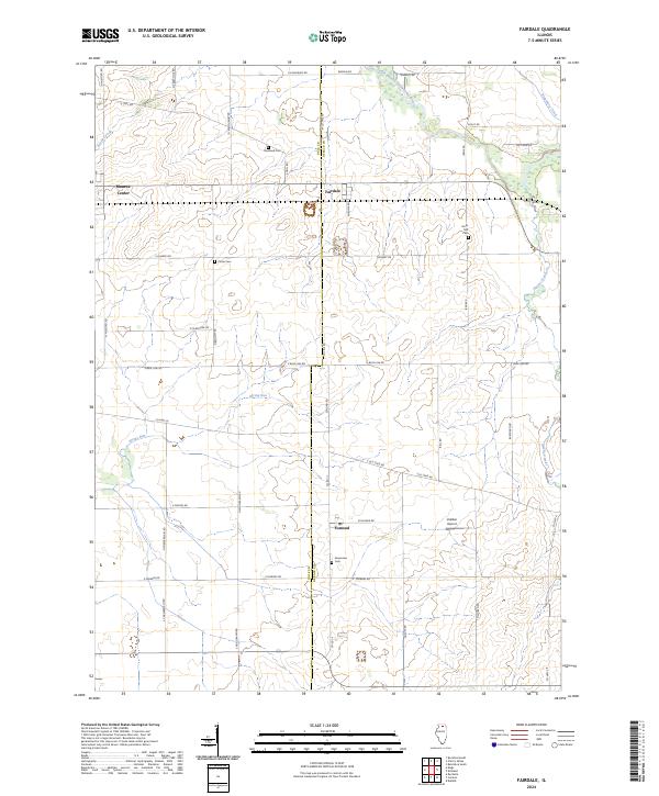
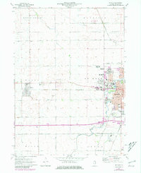
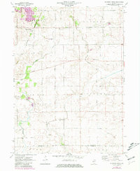
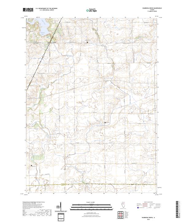
Agricultural lands along the Ogle Co DeKalb Co line define this part of northern Illinois, where small rural hubs are connected by a grid of historical roads. The village of Fairdale sits at the center of the sheet, while Monroe Center and Esmond anchor the western and southern reaches. Local family and community history is preserved in several burial grounds, including Roseland Cem, Porter Cem, and the Hicks Mill Cem near the eastern border.
Find a feature on this map
47 named features on this map. Tap any name to fly to it.
Don’t see what you’re looking for? This feature index may not catch every label — zoom into the map to look around manually.
Map Details
Date Portrayed2024
Date Published2024
PublisherU.S. Geological Survey
Map TypeTopographic
Scale1:24000
Physical Dimensions24 x 29 inches
Editions of this 2024 Fairdale Map
This is the sole edition of this map. No revisions or reprints were ever made.
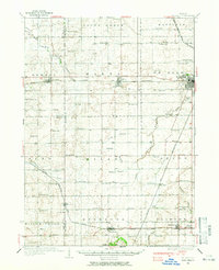
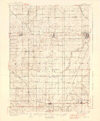
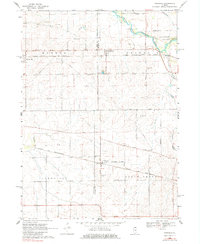
Historical Maps of Fairdale Through Time
7 maps found
Featured Locations
- Franklin Township, IL
- South Grove Township, IL
- Monroe Center, Monroe Township
- Fairdale, Franklin Township
- Kirkland, Franklin Township
Source Details
SourceU.S. Geological Survey
CopyrightPublic Domain