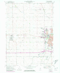
1971 Map of De Kalb
USGS Topo · Published 1981About this map
Northern Illinois University dominates the western edge of De Kalb, illustrating the institutional growth of this DeKalb County hub during the early 1970s. The map captures the city’s expansion northward toward Dresser Road and southward beyond the East West Tollway, showing a landscape transitioning from the agricultural roots of Malta and Afton to a more suburbanized academic center.
Find a feature on this map
56 named features on this map. Tap any name to fly to it.
Don’t see what you’re looking for? This feature index may not catch every label — zoom into the map to look around manually.
Map Details
Editions of this 1971 De Kalb Map
2 editions found
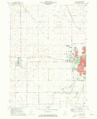
Other maps of this area

1918 · Kirkland
USGS Topo · 1:62,500

1934 · De Kalb
USGS Topo · 1:62,500

1937 · De Kalb
USGS Topo · 1:62,500

1937 · Sycamore
USGS Topo · 1:62,500

1938 · Genoa
USGS Topo · 1:62,500

1954 · Rockford
USGS Topo · 1:250,000

1955 · Rockford
USGS Topo · 1:250,000

1958 · Aurora
USGS Topo · 1:250,000

1958 · Rockford
USGS Topo · 1:250,000

1961 · Aurora
USGS Topo · 1:250,000