
1955 Map of Fairdale
USGS Topo · Published 1957About this map
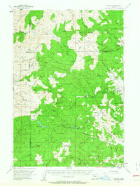
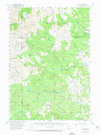
Cherry Grove and the upper reaches of the North Fork Yamhill River define this mid-1950s landscape where the Coast Range meets the valley floor. The map records a working forest environment punctuated by former logging camps and specialized outposts, including Neverstill, Camp One, and Camp Five. Industrial activity is evident near the Haskins Creek Reservoir and along Meadow Lake Road, which provides access to Meadow Lake and high-elevation points like Sheridan Peak.
Find a feature on this map
62 named features on this map. Tap any name to fly to it.
Don’t see what you’re looking for? This feature index may not catch every label — zoom into the map to look around manually.
Map Details
Editions of this 1955 Fairdale Map
3 editions found
Other maps of this area

1924 · Mc Minnville
USGS Topo · 1:48,000

1926 · Mc Minnville
USGS Topo · 1:62,500

1937 · Enright
USGS Topo · 1:62,500

1940 · McMinnville
USGS Topo · 1:62,500

1941 · Timber
USGS Topo · 1:62,500

1941 · Enright
USGS Topo · 1:62,500

1941 · Gales Creek
USGS Topo · 1:62,500

1941 · Yamhill
USGS Topo · 1:62,500

1942 · Ginger Peak
USGS Topo · 1:62,500

1942 · Sheridan
USGS Topo · 1:62,500