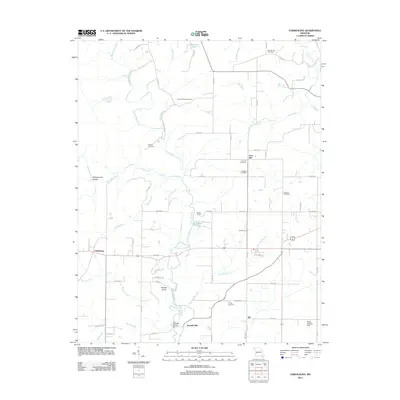
2011 Map of Fairdealing
USGS Topo · Published 2011About this map
Fairdealing and Taft anchor this landscape, where the meandering Little Black River and its numerous tributaries like Beaverdam Creek and Case Bolt Branch dictate the local geography. The area is marked by several points of local historical and genealogical interest, including the Military Cemetery and the Lone Hill Cemetery. Industry and infrastructure of the era are represented by Kremlin Mill and the Ball Mill Bridge near the southern edge of the survey. The topography is defined by notable rises such as Lone Hill, which once served as a high-ground observation point via the Lone Hill Lookout Tower. Numerous family and community cemeteries, including the Cochran Cemetery and Dickens Cemetery, are scattered among the timbered sections and small clearings, offering a clear view of the settlement patterns in this part of Missouri.
Find a feature on this map
68 named features on this map. Tap any name to fly to it.
Don’t see what you’re looking for? This feature index may not catch every label — zoom into the map to look around manually.
Map Details
Editions of this 2011 Fairdealing Map
This is the sole edition of this map. No revisions or reprints were ever made.
Other maps of this area

1934 · Williamsville
USGS Topo · 1:48,000

1935 · Poplar Bluff
USGS Topo · 1:62,500

1935 · Acorn
USGS Topo · 1:62,500

1935 · Harviell
USGS Topo · 1:62,500

1939 · Poplar Bluff
USGS Topo · 1:62,500

1940 · Williamsville
USGS Topo · 1:62,500

1940 · Naylor
USGS Topo · 1:62,500

1944 · Naylor
USGS Topo · 1:62,500

1949 · Poplar Bluff
USGS Topo · 1:62,500

1957 · Poplar Bluff
USGS Topo · 1:250,000