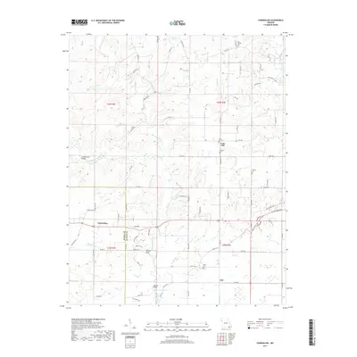
2017 Map of Fairdealing
USGS Topo · Published 2017About this map
Fairdealing and Taft anchor the southern reaches of this landscape where the Ripley and Butler county lines intersect. The terrain is defined by the winding course of the Little Black River, which draws in a network of drainage including Beaverdam Creek and Cane Creek. The area’s genealogical record is well-preserved through numerous small burial grounds such as Bay Springs Cemetery, Military Cemetery, and Kinsey Cemetery, suggesting a deeply rooted rural community history.
Find a feature on this map
87 named features on this map. Tap any name to fly to it.
Don’t see what you’re looking for? This feature index may not catch every label — zoom into the map to look around manually.
Map Details
Editions of this 2017 Fairdealing Map
This is the sole edition of this map. No revisions or reprints were ever made.
Other maps of this area

1934 · Williamsville
USGS Topo · 1:48,000

1935 · Poplar Bluff
USGS Topo · 1:62,500

1935 · Acorn
USGS Topo · 1:62,500

1935 · Harviell
USGS Topo · 1:62,500

1939 · Poplar Bluff
USGS Topo · 1:62,500

1940 · Williamsville
USGS Topo · 1:62,500

1940 · Naylor
USGS Topo · 1:62,500

1944 · Naylor
USGS Topo · 1:62,500

1949 · Poplar Bluff
USGS Topo · 1:62,500

1957 · Poplar Bluff
USGS Topo · 1:250,000