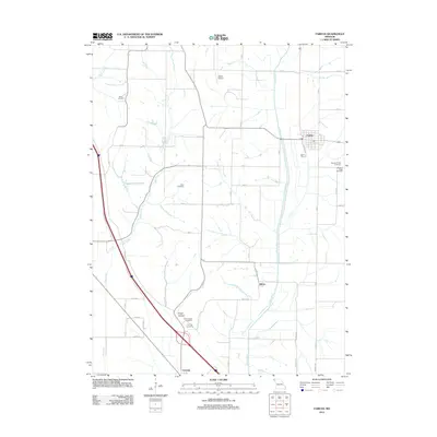
2012 Map of Fairfax
USGS Topo · Published 2012About this map
The Tarkio River and Mill Creek valleys define the agricultural landscape of Atchison County in this 2012 survey. The town of Fairfax serves as the primary settlement in the northeast, while the smaller communities of Milton and Corning anchor the southern reaches. This modern cartographic record provides a clear view of the rural infrastructure, showing the intersection of Co HWY 3 and Kettle Ave as they navigate the area's many hollows and drainage basins.
Find a feature on this map
37 named features on this map. Tap any name to fly to it.
Don’t see what you’re looking for? This feature index may not catch every label — zoom into the map to look around manually.
Map Details
Editions of this 2012 Fairfax Map
This is the sole edition of this map. No revisions or reprints were ever made.
Other maps of this area

1915 · Falls City
USGS Topo · 1:62,500

1915 · Nemaha
USGS Topo · 1:62,500

1920 · Craig
USGS Topo · 1:62,500

1936 · Fairfax
USGS Topo · 1:24,000

1939 · Tarkio
USGS Topo · 1:62,500

1939 · Nemaha
USGS Topo · 1:62,500

1940 · Tarkio
USGS Topo · 1:62,500

1941 · Tarkio
USGS Topo · 1:62,500

1949 · Nemaha
USGS Topo · 1:62,500

1955 · Nebraska City
USGS Topo · 1:250,000