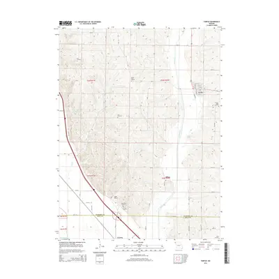
2014 Map of Fairfax
USGS Topo · Published 2014About this map
Fairfax serves as the primary municipal center in this section of northwest Missouri, situated just east of the Tarkio River. The landscape transitions from the river valley into a series of drainages and landmarks such as Angel Hollow and Happy Hollow Lake. Significant for genealogists and local historians, the area is dotted with numerous burial grounds including English Grove Cemetery, Bush Cemetery, and Pleasant Ridge Cemetery, indicating a long-standing pattern of rural settlement. In the southern portion of the quadrangle, the small communities of Milton and Corning are positioned near the Atchison Co Holt Co line. This 2014 survey documents the established road network, from local routes like Lagoon Rd to the regional connection of Outer Rd, tracing the modern infrastructure across traditional township divisions.
Find a feature on this map
43 named features on this map. Tap any name to fly to it.
Don’t see what you’re looking for? This feature index may not catch every label — zoom into the map to look around manually.
Map Details
Editions of this 2014 Fairfax Map
This is the sole edition of this map. No revisions or reprints were ever made.
Other maps of this area

1915 · Falls City
USGS Topo · 1:62,500

1915 · Nemaha
USGS Topo · 1:62,500

1920 · Craig
USGS Topo · 1:62,500

1936 · Fairfax
USGS Topo · 1:24,000

1939 · Tarkio
USGS Topo · 1:62,500

1939 · Nemaha
USGS Topo · 1:62,500

1940 · Tarkio
USGS Topo · 1:62,500

1941 · Tarkio
USGS Topo · 1:62,500

1949 · Nemaha
USGS Topo · 1:62,500

1955 · Nebraska City
USGS Topo · 1:250,000