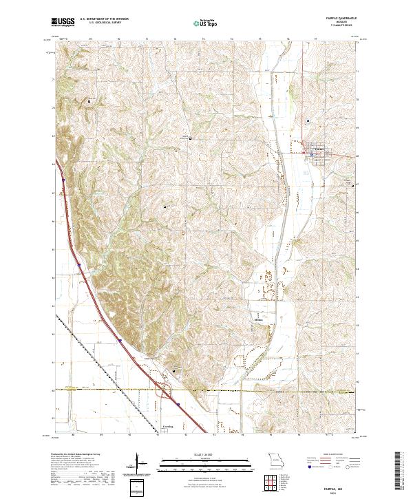
2021 Map of Fairfax
USGS Topo · Published 2021About this map
Fairfax sits at the heart of this Atchison County landscape, serving as a hub for the surrounding agricultural community. The terrain is defined by the winding course of the Tarkio River and smaller tributaries like Turkey Creek and Mill Creek, which have carved out distinct topographical features such as Angel Hollow and the basin containing Happy Hollow Lake. The settlement pattern follows the local drainage and high ground, with smaller hamlets like Milton and Corning established near the border of Atchison and Holt counties.
Find a feature on this map
40 named features on this map. Tap any name to fly to it.
Don’t see what you’re looking for? This feature index may not catch every label — zoom into the map to look around manually.
Map Details
Editions of this 2021 Fairfax Map
This is the sole edition of this map. No revisions or reprints were ever made.
Other maps of this area

1915 · Falls City
USGS Topo · 1:62,500

1915 · Nemaha
USGS Topo · 1:62,500

1920 · Craig
USGS Topo · 1:62,500

1936 · Fairfax
USGS Topo · 1:24,000

1939 · Tarkio
USGS Topo · 1:62,500

1939 · Nemaha
USGS Topo · 1:62,500

1940 · Tarkio
USGS Topo · 1:62,500

1941 · Tarkio
USGS Topo · 1:62,500

1949 · Nemaha
USGS Topo · 1:62,500

1955 · Nebraska City
USGS Topo · 1:250,000