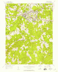
1955 Map of Fairfax
USGS Topo · Published 1958About this map
Fairfax and its surrounding suburban growth are caught in a moment of rapid post-war expansion along the Lee Highway and Arlington Blvd corridors. While new developments like Fairfax Farms and Joyce Heights begin to fill the landscape, older landmarks of a rural Virginia past remain visible. The Southern railroad line cuts through the southern half of the map, serving small hubs like Fairfax Station and Sideburn Branch.
Find a feature on this map
130 named features on this map. Tap any name to fly to it.
Don’t see what you’re looking for? This feature index may not catch every label — zoom into the map to look around manually.
Map Details
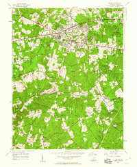
Editions of this 1955 Fairfax Map
2 editions found
Other maps of this area

1890 · Mt. Vernon
USGS Topo · 1:125,000

1891 · Mt. Vernon
USGS Topo · 1:125,000

1894 · Mt. Vernon
USGS Topo · 1:125,000

1897 · Mt. Vernon
USGS Topo · 1:125,000

1900 · Washington
USGS Topo · 1:62,500

1913 · Indian Head
USGS Topo · 1:62,500

1915 · Fairfax
USGS Topo · 1:62,500

1923 · Indian Head
USGS Topo · 1:48,000

1925 · Indian Head
USGS Topo · 1:62,500

1927 · Quantico
USGS Topo · 1:62,500