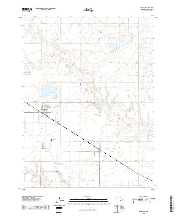
2021 Map of Fairfield
USGS Topo · Published 2021About this map
Fairfield anchors the northern reaches of this Clay County landscape, appearing as a organized grid of streets including 4th St, E 7th St, and E 8th St. South of the town center, the Fairfield Cem serves as a significant landmark for genealogists and local historians tracing family roots in the area. The surrounding terrain is defined by a distinct hydrographic pattern of natural depressions and man-made water storage, notably Massie Lagoon and Harms Lagoon in the northeast.
Find a feature on this map
35 named features on this map. Tap any name to fly to it.
Don’t see what you’re looking for? This feature index may not catch every label — zoom into the map to look around manually.
Map Details
Editions of this 2021 Fairfield Map
This is the sole edition of this map. No revisions or reprints were ever made.
Other maps of this area

1898 · York
USGS Topo · 1:125,000

1898 · Superior
USGS Topo · 1:125,000

1898 · Hebron
USGS Topo · 1:125,000

1898 · Grand Island
USGS Topo · 1:125,000

1899 · York
USGS Topo · 1:125,000

1955 · Lincoln
USGS Topo · 1:250,000

1955 · Grand Island
USGS Topo · 1:250,000

1957 · Lincoln
USGS Topo · 1:250,000

1957 · Grand Island
USGS Topo · 1:250,000

1958 · Grand Island
USGS Topo · 1:250,000