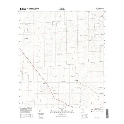
2015 Map of Fairfield
USGS Topo · Published 2015About this map
Blitchton and Fairfield anchor this section of Marion County, where the landscape is defined by a grid of rural avenues and private aviation. The terrain is marked by numerous karst depressions and small water bodies like Peter Gibson Pond, Rayner Pond, and Hopkins Pond, characteristic of the local limestone geology. Small settlements such as Emathla and Cara are connected by secondary routes like CR-225 and W Highway 326.
Find a feature on this map
74 named features on this map. Tap any name to fly to it.
Don’t see what you’re looking for? This feature index may not catch every label — zoom into the map to look around manually.
Map Details
Editions of this 2015 Fairfield Map
This is the sole edition of this map. No revisions or reprints were ever made.
Other maps of this area

1892 · Dunnellon
USGS Topo · 1:62,500

1893 · Citra
USGS Topo · 1:62,500

1894 · Dunnellon
USGS Topo · 1:62,500

1895 · Williston
USGS Topo · 1:62,500

1895 · Citra
USGS Topo · 1:62,500

1895 · Ocala
USGS Topo · 1:62,500

1954 · Romeo
USGS Topo · 1:24,000

1954 · Cotton Plant
USGS Topo · 1:24,000

1954 · Dunnellon
USGS Topo · 1:62,500

1954 · Gainesville
USGS Topo · 1:250,000