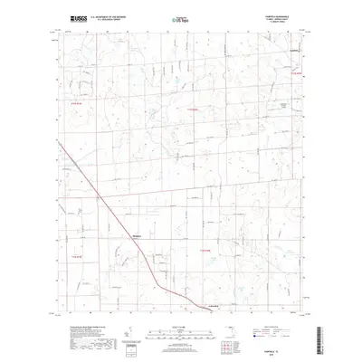
2018 Map of Fairfield
USGS Topo · Published 2018About this map
Blitchton and the surrounding rural landscape of Marion County are characterized by a network of local roads and distinctive water features in this late 2010s survey. The terrain is dotted with several significant water bodies including Rayner Pond, Hopkins Pond, and Peter Gibson Pond, which feed into Brooks Br. Cultural landmarks such as Pine Grove Cem and the uniquely named Reluctant Gremlin Airport reflect the localized community development of this region. The settlement of Fairfield anchors the northern reaches of the map, while Fellowship sits to the south. The area maintains its agricultural and rural character, evidenced by the section lines and township-range boundaries like t13s r20e that still define land ownership and navigation throughout the Florida interior.
Find a feature on this map
77 named features on this map. Tap any name to fly to it.
Don’t see what you’re looking for? This feature index may not catch every label — zoom into the map to look around manually.
Map Details
Editions of this 2018 Fairfield Map
This is the sole edition of this map. No revisions or reprints were ever made.
Other maps of this area

1892 · Dunnellon
USGS Topo · 1:62,500

1893 · Citra
USGS Topo · 1:62,500

1894 · Dunnellon
USGS Topo · 1:62,500

1895 · Williston
USGS Topo · 1:62,500

1895 · Citra
USGS Topo · 1:62,500

1895 · Ocala
USGS Topo · 1:62,500

1954 · Romeo
USGS Topo · 1:24,000

1954 · Cotton Plant
USGS Topo · 1:24,000

1954 · Dunnellon
USGS Topo · 1:62,500

1954 · Gainesville
USGS Topo · 1:250,000