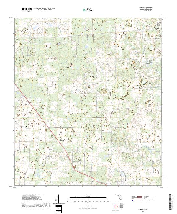
2024 Map of Fairfield
USGS Topo · Published 2024About this map
Fairfield and its historic surroundings in Marion County are defined by a network of rural county roads and local thoroughfares that connect scattered settlements and legacy institutions. The northern portion of the map is anchored by the Fairfield Presbyterian Church and the adjacent Fairfield Presbyterian Church Cem, landmarks that suggest long-standing community roots. Moving south along the diagonal path of Old Blichton Rd, the landscape shifts toward the settlement of Blitchton and eventually Fellowship. This area is characterized by numerous small water bodies, including Rayner Pond, Hopkins Pond, and Peter Gibson Pond, reflecting the local hydrology. The presence of the uniquely named Reluctant Gremlin Airport adds a modern aviation element to an otherwise traditional agrarian landscape, while Pine Grove Cem provides another point of interest for those tracing family history through the region's smaller rural cemeteries.
Find a feature on this map
45 named features on this map. Tap any name to fly to it.
Don’t see what you’re looking for? This feature index may not catch every label — zoom into the map to look around manually.
Map Details
Editions of this 2024 Fairfield Map
This is the sole edition of this map. No revisions or reprints were ever made.
Other maps of this area

1892 · Dunnellon
USGS Topo · 1:62,500

1893 · Citra
USGS Topo · 1:62,500

1894 · Dunnellon
USGS Topo · 1:62,500

1895 · Williston
USGS Topo · 1:62,500

1895 · Citra
USGS Topo · 1:62,500

1895 · Ocala
USGS Topo · 1:62,500

1954 · Romeo
USGS Topo · 1:24,000

1954 · Cotton Plant
USGS Topo · 1:24,000

1954 · Dunnellon
USGS Topo · 1:62,500

1954 · Gainesville
USGS Topo · 1:250,000