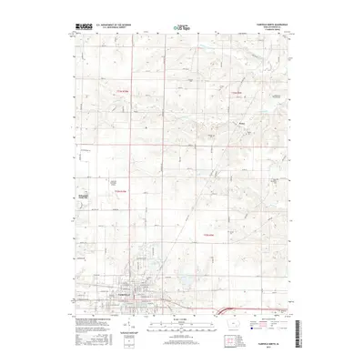
2015 Map of Fairfield North
USGS Topo · Published 2015About this map
Fairfield anchors the southern edge of this Jefferson County landscape, serving as a hub for the surrounding agricultural prairie. The map reveals a sophisticated water management system integrated into the terrain, characterized by Reservoir Number One, Reservoir Number Two, and Walton Lake. These features, alongside the drainage of Middle Walnut Cr and South Walnut Cr, illustrate the region's historical reliance on managed water resources for its growth.
Find a feature on this map
64 named features on this map. Tap any name to fly to it.
Don’t see what you’re looking for? This feature index may not catch every label — zoom into the map to look around manually.
Map Details
Editions of this 2015 Fairfield North Map
This is the sole edition of this map. No revisions or reprints were ever made.
Other maps of this area

1954 · Centerville
USGS Topo · 1:250,000

1954 · Des Moines
USGS Topo · 1:250,000

1956 · Des Moines
USGS Topo · 1:250,000

1957 · Des Moines
USGS Topo · 1:250,000

1957 · Centerville
USGS Topo · 1:250,000

1958 · Centerville
USGS Topo · 1:250,000

1958 · Burlington
USGS Topo · 1:250,000

1958 · Davenport
USGS Topo · 1:250,000

1961 · Burlington
USGS Topo · 1:250,000

1961 · Davenport
USGS Topo · 1:250,000