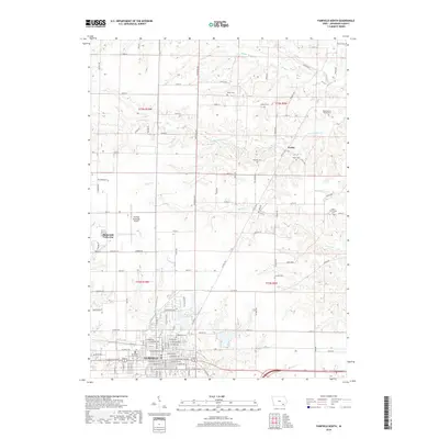
2018 Map of Fairfield North
USGS Topo · Published 2018About this map
The northern reaches of Fairfield meet the agricultural heart of Jefferson County in this 2018 survey. The landscape is defined by the winding paths of Middle Walnut Cr, S Walnut Cr, and Brush Cr, which carve through a grid of rural roads such as Walton Rd and Airport Rd. This era captures the unique development of Maharishi Vedic City to the west, established with its distinct architectural planning principles near the Fairfield Municipal Airport. To the northeast, the small community of Perlee serves as a reminder of earlier rural settlements. Genealogists will find a high density of burial grounds across these townships, ranging from larger city sites like Evergreen Cem and Memorial Lawn Cem to smaller rural plots including Antioch Cem, Moyer Cem, and the Westenhaver Family Cem.
Find a feature on this map
74 named features on this map. Tap any name to fly to it.
Don’t see what you’re looking for? This feature index may not catch every label — zoom into the map to look around manually.
Map Details
Editions of this 2018 Fairfield North Map
This is the sole edition of this map. No revisions or reprints were ever made.
Other maps of this area

1954 · Centerville
USGS Topo · 1:250,000

1954 · Des Moines
USGS Topo · 1:250,000

1956 · Des Moines
USGS Topo · 1:250,000

1957 · Des Moines
USGS Topo · 1:250,000

1957 · Centerville
USGS Topo · 1:250,000

1958 · Centerville
USGS Topo · 1:250,000

1958 · Burlington
USGS Topo · 1:250,000

1958 · Davenport
USGS Topo · 1:250,000

1961 · Burlington
USGS Topo · 1:250,000

1961 · Davenport
USGS Topo · 1:250,000