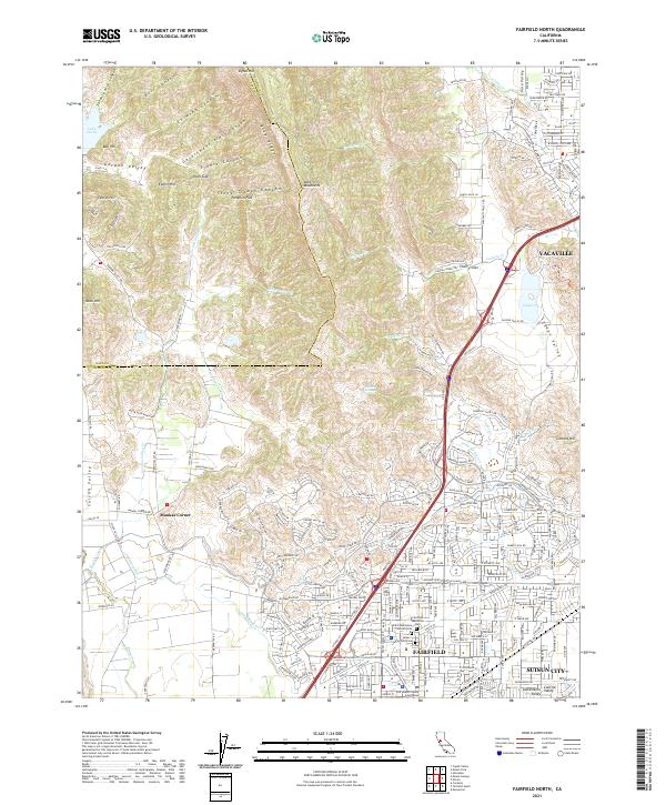
2021 Map of Fairfield North
USGS Topo · Published 2021About this map
The Vaca Mountains and Blue Ridge define the northern reaches of this region, giving way to the expanding residential grids of Fairfield and Vacaville. This landscape captures the transition from the high-relief terrain of Seventy Acre Canyon and Stone Trough Canyon down into the productive floor of the Suisun Valley. Near the center of the sheet, Tolenas Springs remains a distinctive landmark at the base of the foothills.
Find a feature on this map
241 named features on this map. Tap any name to fly to it.
Don’t see what you’re looking for? This feature index may not catch every label — zoom into the map to look around manually.
Map Details
Editions of this 2021 Fairfield North Map
This is the sole edition of this map. No revisions or reprints were ever made.
Other maps of this area

1896 · Carquinez Strait
USGS Topo · 1:62,500

1898 · Karquines
USGS Topo · 1:62,500

1901 · Karquines
USGS Topo · 1:62,500

1902 · Napa
USGS Topo · 1:125,000

1907 · Antioch
USGS Topo · 1:62,500

1908 · Vacaville
USGS Topo · 1:62,500

1908 · Antioch
USGS Topo · 1:62,500

1917 · Wolfskill
USGS Topo · 1:31,680

1917 · Elmira
USGS Topo · 1:31,680
1918 · Denverton
USGS Topo · 1:31,680