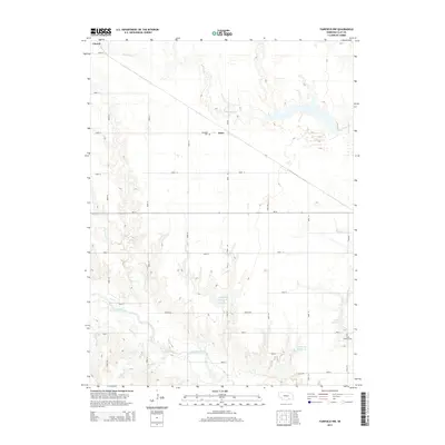
2014 Map of Fairfield NW
USGS Topo · Published 2014About this map
Glenvil anchors the northwestern corner of this Clay County landscape, where the agricultural grid is defined by a rigorous network of section roads. The terrain is shaped by the winding course of the Little Blue River in the south and Big Sandy Cr to the north, creating a contrast between the flat upland plains and the more complex topography near the riverbanks. The map reveals a regional reliance on water management, evidenced by several named catchments including the Nejezchleb Reservoir, Lambie Reservoir, and Lipovsky Reservoir.
Find a feature on this map
32 named features on this map. Tap any name to fly to it.
Don’t see what you’re looking for? This feature index may not catch every label — zoom into the map to look around manually.
Map Details
Editions of this 2014 Fairfield NW Map
This is the sole edition of this map. No revisions or reprints were ever made.
Other maps of this area

1898 · Superior
USGS Topo · 1:125,000

1898 · Grand Island
USGS Topo · 1:125,000

1955 · Grand Island
USGS Topo · 1:250,000

1957 · Grand Island
USGS Topo · 1:250,000

1958 · Grand Island
USGS Topo · 1:250,000
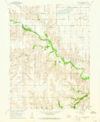
1960 · Fairfield SE
USGS Topo · 1:24,000

1960 · Deweese
USGS Topo · 1:24,000

1969 · Hastings East
USGS Topo · 1:24,000

1969 · Fairfield NW
USGS Topo · 1:24,000

1969 · Lawrence
USGS Topo · 1:24,000