Loading...
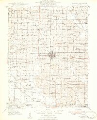
Loading map...1948 Map of Fairfield
USGS Topo · Published 1948About this map
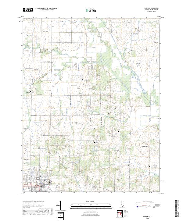
Fairfield serves as the focal point of this Wayne County landscape, where the Southern and Baltimore and Ohio railroads intersect to drive the regional economy. The map reveals a dense network of early rural social life, evidenced by the numerous schools and churches that served the outlying farming communities. Notable settlements include Jeffersonville Geff PO and Mill Shoals, while the countryside is dotted with family-named landmarks like the Crews Cem and Posey Cem.
Find a feature on this map
111 named features on this map. Tap any name to fly to it.
Don’t see what you’re looking for? This feature index may not catch every label — zoom into the map to look around manually.
Map Details
Date Portrayed1948
Date Published1948
PublisherU.S. Geological Survey
Map TypeTopographic
Scale1:62,500
Physical Dimensions16.8 x 20.88 inches
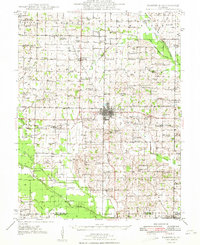
Editions of this 1948 Fairfield Map
2 editions found
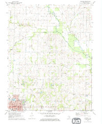
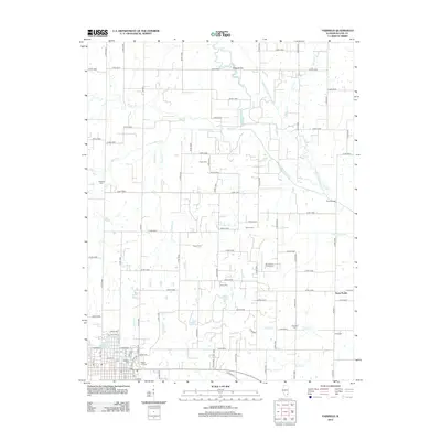
Historical Maps of Fairfield Through Time
7 maps found
Featured Locations
Source Details
SourceU.S. Geological Survey
CopyrightPublic Domain