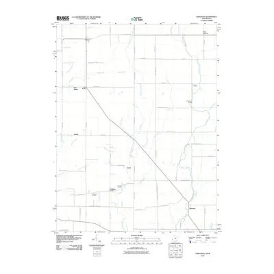
2010 Map of Fairhaven
USGS Topo · Published 2010About this map
Four Mile Creek and its many tributaries, including Little Four Mile Creek and Fleisch Run, define the drainage of this rural borderland between Indiana and Ohio. The landscape is characterized by a dense network of country roads such as Allison Mill Rd and California School Rd, which link long-standing agricultural settlements. Small communities like Fairhaven and Boston serve as local hubs, while historical burial sites such as Concord Cemetery and Railsback Cemetery are preserved in the surrounding fields.
Find a feature on this map
51 named features on this map. Tap any name to fly to it.
Don’t see what you’re looking for? This feature index may not catch every label — zoom into the map to look around manually.
Map Details
Editions of this 2010 Fairhaven Map
This is the sole edition of this map. No revisions or reprints were ever made.
Other maps of this area

1911 · Oxford
USGS Topo · 1:62,500

1915 · New Paris
USGS Topo · 1:48,000

1915 · College Corner
USGS Topo · 1:48,000

1918 · College Corner
USGS Topo · 1:62,500

1918 · New Paris
USGS Topo · 1:62,500

1948 · Fairfield
USGS Topo · 1:24,000

1953 · Cincinnati
USGS Topo · 1:250,000

1957 · Cincinnati
USGS Topo · 1:250,000

1960 · Liberty
USGS Topo · 1:24,000

1960 · Fairhaven
USGS Topo · 1:24,000