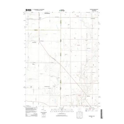
2013 Map of Fairhaven
USGS Topo · Published 2013About this map
The state line between Indiana and Ohio splits this landscape, where agricultural tradition meets the rural crossroads of Wayne, Union, and Preble counties. Several small settlements and farmsteads define the area, including Boston, Kitchel, and the community of Fairhaven. The drainage patterns of Four Mile Creek and Little Four Mile Cr dictate the layout of the local road network, which connects historical points like Five Points and Goodwins Corner. Genealogists will find significant value in the documentation of several local burial sites, such as Concord Cem, Railsback Cem, and Pentecost Cem. The map also preserves the locations of numerous family-named agricultural holdings, including Twin Acre Farms, Elleman Farms, and Smith Farms, illustrating the enduring nature of land ownership in this border region. Transport history is noted through points like Witts Station and the landmark Harshman Bridge spanning the local waterways.
Find a feature on this map
102 named features on this map. Tap any name to fly to it.
Don’t see what you’re looking for? This feature index may not catch every label — zoom into the map to look around manually.
Map Details
Editions of this 2013 Fairhaven Map
This is the sole edition of this map. No revisions or reprints were ever made.
Other maps of this area

1911 · Oxford
USGS Topo · 1:62,500

1915 · New Paris
USGS Topo · 1:48,000

1915 · College Corner
USGS Topo · 1:48,000

1918 · College Corner
USGS Topo · 1:62,500

1918 · New Paris
USGS Topo · 1:62,500

1948 · Fairfield
USGS Topo · 1:24,000

1953 · Cincinnati
USGS Topo · 1:250,000

1957 · Cincinnati
USGS Topo · 1:250,000

1960 · Liberty
USGS Topo · 1:24,000

1960 · Fairhaven
USGS Topo · 1:24,000