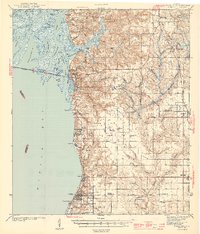
1944 Map of Fairhope
USGS Topo · Published 1944About this map
Civil War Trenches and Kings Battery overlook the eastern shore of Mobile Bay, signaling the strategic military importance of this bluff-lined landscape. Surveyed in the late 1930s and published by the War Department in 1944, this record captures the growth of Fairhope and Daphne before the post-war suburban expansion. The Eastern Shore is characterized by its unique educational and social institutions, including the State Teachers College and a Friends Meetinghouse.
Find a feature on this map
99 named features on this map. Tap any name to fly to it.
Don’t see what you’re looking for? This feature index may not catch every label — zoom into the map to look around manually.
Map Details
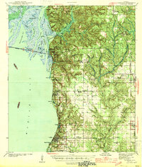
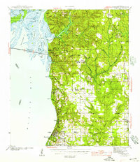
Editions of this 1944 Fairhope Map
3 editions found
Other maps of this area

1920 · Robertsdale
USGS Topo · 1:62,500

1921 · Bon Secour
USGS Topo · 1:62,500

1921 · Point Clear
USGS Topo · 1:62,500

1921 · Fairhope
USGS Topo · 1:62,500

1921 · Delchamps
USGS Topo · 1:62,500

1922 · Mobile
USGS Topo · 1:62,500

1939 · Daphne
USGS Topo · 1:31,680

1940 · Silverhill
USGS Topo · 1:31,680

1940 · Hollingers Island
USGS Topo · 1:31,680

1940 · Mobile
USGS Topo · 1:31,680