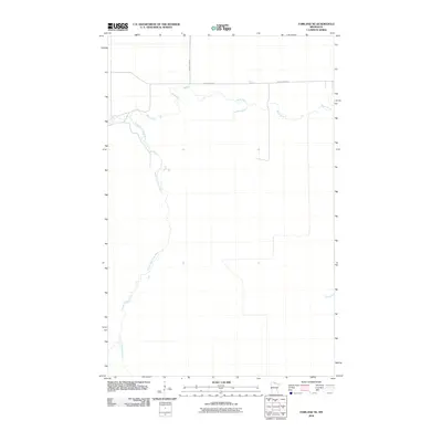
2010 Map of Fairland NE
USGS Topo · Published 2010About this map
Black River meanders across the northern portion of this Koochiching County landscape, defining the primary drainage for the surrounding bog and forest lands. In the northwestern corner, the South Fork Black River joins the main stem, creating a complex of riparian channels. Human presence is concentrated along a sparse network of roads, including County Hwy 86 and Black River Rd, which follow the higher ground near the riverbanks. This 2010 survey reflects a period when the area remained largely undeveloped, dominated by the natural hydrology of northern Minnesota. The map provides a clear record of the relationship between the limited transportation infrastructure and the winding course of the river system.
Find a feature on this map
4 named features on this map. Tap any name to fly to it.
Don’t see what you’re looking for? This feature index may not catch every label — zoom into the map to look around manually.
Map Details
Editions of this 2010 Fairland NE Map
This is the sole edition of this map. No revisions or reprints were ever made.
Other maps of this area

1919 · Birchdale
USGS Topo · 1:62,500

1919 · I
USGS Topo · 1:62,500

1943 · Lindford
USGS Topo · 1:62,500

1954 · Roseau
USGS Topo · 1:250,000

1954 · International Falls
USGS Topo · 1:250,000

1957 · Roseau
USGS Topo · 1:250,000

1957 · International Falls
USGS Topo · 1:250,000

1958 · International Falls
USGS Topo · 1:250,000

1958 · Roseau
USGS Topo · 1:250,000

1968 · Birchdale SW
USGS Topo · 1:24,000