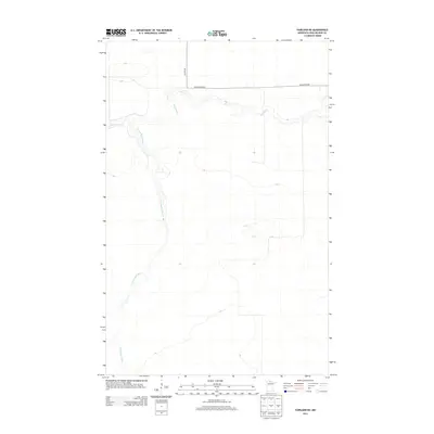
2013 Map of Fairland NE
USGS Topo · Published 2013About this map
Black River and its tributary, the S Fork Black River, define the landscape of this Koochiching County quadrangle. The terrain is dominated by the winding paths of these waterways, reflecting the swampy, low-relief character of northern Minnesota's drainage systems. Human infrastructure is limited to the northern edge of the map, where Co Hwy-86 and Black River Rd provide the primary access into this quiet wilderness. The lack of named settlements or schools suggests a region primarily dedicated to timber or conservation, where the natural hydrology remains the most prominent feature for researchers studying the state's northern river networks.
Find a feature on this map
4 named features on this map. Tap any name to fly to it.
Don’t see what you’re looking for? This feature index may not catch every label — zoom into the map to look around manually.
Map Details
Editions of this 2013 Fairland NE Map
This is the sole edition of this map. No revisions or reprints were ever made.
Other maps of this area

1919 · Birchdale
USGS Topo · 1:62,500

1919 · I
USGS Topo · 1:62,500

1943 · Lindford
USGS Topo · 1:62,500

1954 · Roseau
USGS Topo · 1:250,000

1954 · International Falls
USGS Topo · 1:250,000

1957 · Roseau
USGS Topo · 1:250,000

1957 · International Falls
USGS Topo · 1:250,000

1958 · International Falls
USGS Topo · 1:250,000

1958 · Roseau
USGS Topo · 1:250,000

1968 · Birchdale SW
USGS Topo · 1:24,000