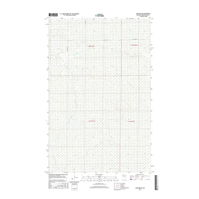
2016 Map of Fairland NE
USGS Topo · Published 2016About this map
Black River meanders across this northern Minnesota landscape, defining the hydrology of a region dominated by extensive wetlands. In this 2016 survey of Koochiching County, the waterway is joined by the S Fork Black River, which flows through the southern sections of the township. The terrain is characterized by its low-lying, marshy nature, with very little development aside from a few isolated transport routes. Infrastructure is limited to the northern edge of the map, where Black River Rd and Co Rd 86 provide the only significant access points into the dense boggy interior. This map is a clear record of the enduring wilderness in the borderlands, showing the persistent township and range lines of t158n r27w and t157n r27w over a landscape that remains largely untouched by modern expansion.
Find a feature on this map
8 named features on this map. Tap any name to fly to it.
Don’t see what you’re looking for? This feature index may not catch every label — zoom into the map to look around manually.
Map Details
Editions of this 2016 Fairland NE Map
This is the sole edition of this map. No revisions or reprints were ever made.
Other maps of this area

1919 · Birchdale
USGS Topo · 1:62,500

1919 · I
USGS Topo · 1:62,500

1943 · Lindford
USGS Topo · 1:62,500

1954 · Roseau
USGS Topo · 1:250,000

1954 · International Falls
USGS Topo · 1:250,000

1957 · Roseau
USGS Topo · 1:250,000

1957 · International Falls
USGS Topo · 1:250,000

1958 · International Falls
USGS Topo · 1:250,000

1958 · Roseau
USGS Topo · 1:250,000

1968 · Birchdale SW
USGS Topo · 1:24,000