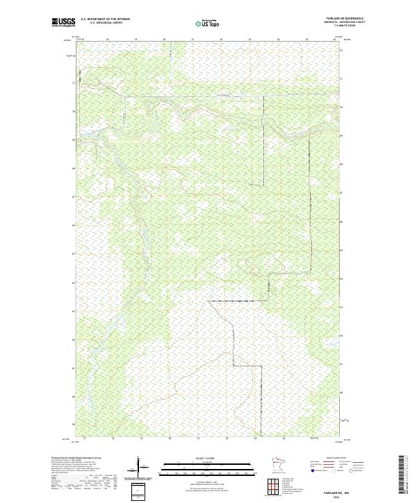
2022 Map of Fairland NE
USGS Topo · Published 2022About this map
Black River meanders through this portion of Koochiching County, joined by its tributary the S Fork Black River in a landscape dominated by extensive wetland systems. This modern 2022 survey illustrates the remote character of Northern Minnesota, where infrastructure is limited to primitive corridors like Black River Rd and Co Rd 86. The map is primarily defined by its hydrology and the public land survey system grid, including townships t158n r27w and t158n r26w. The lack of named settlements or building footprints highlights the wilderness nature of the terrain, making this a clear record of the area's contemporary natural state and drainage patterns.
Find a feature on this map
8 named features on this map. Tap any name to fly to it.
Don’t see what you’re looking for? This feature index may not catch every label — zoom into the map to look around manually.
Map Details
Editions of this 2022 Fairland NE Map
This is the sole edition of this map. No revisions or reprints were ever made.
Other maps of this area

1919 · Birchdale
USGS Topo · 1:62,500

1919 · I
USGS Topo · 1:62,500

1943 · Lindford
USGS Topo · 1:62,500

1954 · Roseau
USGS Topo · 1:250,000

1954 · International Falls
USGS Topo · 1:250,000

1957 · Roseau
USGS Topo · 1:250,000

1957 · International Falls
USGS Topo · 1:250,000

1958 · International Falls
USGS Topo · 1:250,000

1958 · Roseau
USGS Topo · 1:250,000

1968 · Birchdale SW
USGS Topo · 1:24,000