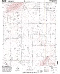
1995 Map of Fairmont Butte
USGS Topo · Published 1999About this map
Fairmont Butte and the Antelope Buttes dominate the southern landscape of this high desert region along the border of Kern and Los Angeles counties. The terrain is marked by a transition from the prominent rises of Thumb and Finger in the north to the engineered path of the California Aqueduct in the southwest. A grid of rural routes, including Gaskell Street and several lettered avenues, reveals a systematic settlement pattern typical of the mid-1990s.
Find a feature on this map
21 named features on this map. Tap any name to fly to it.
Don’t see what you’re looking for? This feature index may not catch every label — zoom into the map to look around manually.
Map Details
Editions of this 1995 Fairmont Butte Map
2 editions found
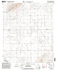
Other maps of this area

1903 · Tejon
USGS Topo · 1:125,000

1915 · Elizabeth Lake
USGS Topo · 1:125,000

1917 · Elizabeth Lake
USGS Topo · 1:125,000

1931 · Little Buttes
USGS Topo · 1:24,000

1932 · Fairmont
USGS Topo · 1:24,000

1933 · Manzana
USGS Topo · 1:24,000

1934 · Little Buttes
USGS Topo · 1:24,000
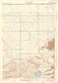
1937 · Fairmont
USGS Topo · 1:24,000
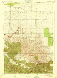
1938 · Manzana
USGS Topo · 1:24,000

1943 · Neenach
USGS Topo · 1:62,500