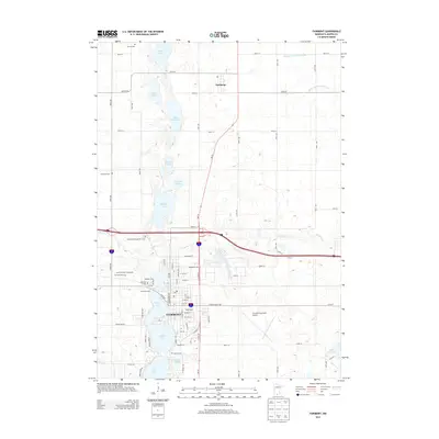
2013 Map of Fairmont
USGS Topo · Published 2013About this map
The city of Fairmont anchors this Martin County landscape, characterized by a chain of glacial lakes and a highly developed agricultural drainage network. To the south, the city surrounds the waters of Budd Lake, George Lake, and Hall Lake, where established neighborhoods and the Martin County Fairgrounds sit alongside preserved history at Heritage Acres. The northern portion of the map is dominated by the small settlement of Northrop and a series of lakes including Lake Charlotte, Kiester Lake, and Buffalo Lake.
Find a feature on this map
60 named features on this map. Tap any name to fly to it.
Don’t see what you’re looking for? This feature index may not catch every label — zoom into the map to look around manually.
Map Details
Editions of this 2013 Fairmont Map
This is the sole edition of this map. No revisions or reprints were ever made.
Other maps of this area

1954 · Fairmont
USGS Topo · 1:250,000

1958 · Fairmont
USGS Topo · 1:250,000

1967 · Truman
USGS Topo · 1:24,000

1967 · East Chain
USGS Topo · 1:24,000

1967 · Wilmert Lake
USGS Topo · 1:24,000

1967 · Truman SE
USGS Topo · 1:24,000

1967 · Granada
USGS Topo · 1:24,000

1967 · Fairmont
USGS Topo · 1:24,000

1970 · St James SE
USGS Topo · 1:24,000

1970 · Welcome
USGS Topo · 1:24,000