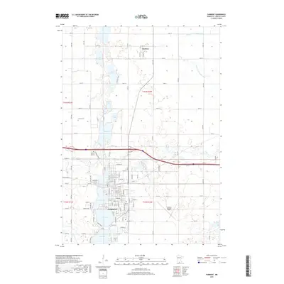
2019 Map of Fairmont
USGS Topo · Published 2019About this map
Fairmont serves as the focal point of this Martin County landscape, defined by a distinct chain of lakes including George Lake, Budd Lake, and Hall Lake that shape the city's western edge. The modern urban footprint is captured in detail, showing the gridded residential streets and cemeteries like Lakeside Cem and Calvary Cem that overlook the water. North of the city, the land transitions into a productive agricultural pattern bisected by a complex network of drainage systems, such as Judicial Ditch Number Eight and Judicial Ditch Number Three. The small settlement of Northrop sits near the northern boundary, while the Fairmont Municipal Airport occupies the flat terrain to the east. This survey illustrates the ongoing importance of water management and transportation in southern Minnesota, from the preservation of Lake Charlotte to the extensive county road system connecting rural farmsteads.
Find a feature on this map
69 named features on this map. Tap any name to fly to it.
Don’t see what you’re looking for? This feature index may not catch every label — zoom into the map to look around manually.
Map Details
Editions of this 2019 Fairmont Map
This is the sole edition of this map. No revisions or reprints were ever made.
Other maps of this area

1954 · Fairmont
USGS Topo · 1:250,000

1958 · Fairmont
USGS Topo · 1:250,000

1967 · Truman
USGS Topo · 1:24,000

1967 · East Chain
USGS Topo · 1:24,000

1967 · Wilmert Lake
USGS Topo · 1:24,000

1967 · Truman SE
USGS Topo · 1:24,000

1967 · Granada
USGS Topo · 1:24,000

1967 · Fairmont
USGS Topo · 1:24,000

1970 · St James SE
USGS Topo · 1:24,000

1970 · Welcome
USGS Topo · 1:24,000