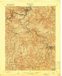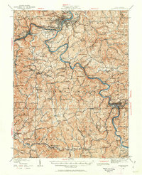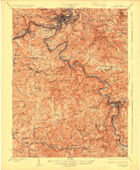
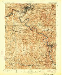
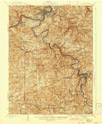
1926 Map of Fairmont
USGS Topo · Published 1926About this map
The Monongahela River and West Fork River serve as the primary industrial corridors in this 1926 survey, where the Baltimore and Ohio RR follows the water's edge to connect coal and rail towns. The landscape is a dense network of hill-and-hollow settlements, characterized by small coal communities like Monongah, Colfax, and Flemington. Notable mining operations, such as the Tyrconnell Mines in the south, are depicted alongside a significant distribution of rural infrastructure, including dozens of local schools like Goose Creek School and Quiet Dell School.
Find a feature on this map
186 named features on this map. Tap any name to fly to it.
Don’t see what you’re looking for? This feature index may not catch every label — zoom into the map to look around manually.
Map Details
Editions of this 1926 Fairmont Map
3 editions found
Historical Maps of Bellview Through Time
3 maps found