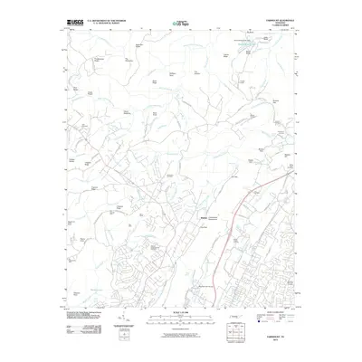
2010 Map of Fairmount
USGS Topo · Published 2010About this map
The town of Walden sits atop the massive Cumberland Escarpment, looking over a landscape defined by deep gulfs and prominent ridges. The area reveals a significant history of resource extraction, with numerous coal operations including the Doc Spangle Mine, Tate Mine, and the Richard Lewis Number Eight Mine peppered across the plateau. To the west, the Big Government Mine and Baggett and Pickett Mines indicate the extent of these early industrial workings near the headwaters of Conner Creek.
Find a feature on this map
134 named features on this map. Tap any name to fly to it.
Don’t see what you’re looking for? This feature index may not catch every label — zoom into the map to look around manually.
Map Details
Editions of this 2010 Fairmount Map
This is the sole edition of this map. No revisions or reprints were ever made.
Other maps of this area

1888 · Chattanooga
USGS Topo · 1:125,000

1893 · Chattanooga
USGS Topo · 1:125,000

1935 · East Chattanooga
USGS Topo · 1:24,000

1935 · Daisy
USGS Topo · 1:24,000

1935 · Soddy
USGS Topo · 1:24,000

1936 · Daus
USGS Topo · 1:24,000

1936 · Henson Gap
USGS Topo · 1:24,000

1936 · Ketner Gap
USGS Topo · 1:24,000

1936 · Fairmount
USGS Topo · 1:24,000

1936 · Wauhatchie
USGS Topo · 1:24,000