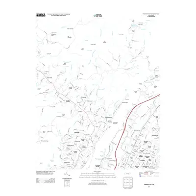
2013 Map of Fairmount
USGS Topo · Published 2013About this map
The Cumberland Escarpment defines the dramatic transition between the high plateaus and the valley floors in this 2013 landscape near Chattanooga. Communities such as Walden, Fairmount, and Summertown sit atop the ridge, where the terrain is marked by distinctive natural features like Buzzard Point and the steep Pickett Gulf. The map records a mix of residential growth and long-standing local landmarks, including the Fairmount Orchard and several recreational sites like the Montclair Golf Course. Below the ridge, the land transitions into suburban developments like Eastwood Acres and Daytona Hills.
Find a feature on this map
310 named features on this map. Tap any name to fly to it.
Don’t see what you’re looking for? This feature index may not catch every label — zoom into the map to look around manually.
Map Details
Editions of this 2013 Fairmount Map
This is the sole edition of this map. No revisions or reprints were ever made.
Other maps of this area

1888 · Chattanooga
USGS Topo · 1:125,000

1893 · Chattanooga
USGS Topo · 1:125,000

1935 · East Chattanooga
USGS Topo · 1:24,000

1935 · Daisy
USGS Topo · 1:24,000

1935 · Soddy
USGS Topo · 1:24,000

1936 · Daus
USGS Topo · 1:24,000

1936 · Henson Gap
USGS Topo · 1:24,000

1936 · Ketner Gap
USGS Topo · 1:24,000

1936 · Fairmount
USGS Topo · 1:24,000

1936 · Wauhatchie
USGS Topo · 1:24,000