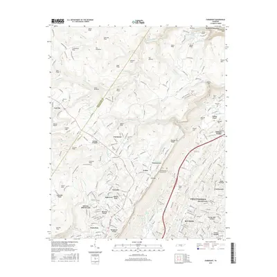
2016 Map of Fairmount
USGS Topo · Published 2016About this map
Walden Ridge and the dramatic drop of the Cumberland Escarpment define the geography of this 2016 survey, where the suburban growth of Chattanooga meets the plateau high above the Tennessee Valley. The sheet documents a dense network of residential developments such as Skyline Park, Birnam Wood, and Shepherd Forest that have filled the spaces between older settlements like Fairmount and Summertown. This modern landscape is still deeply rooted in local history, as evidenced by numerous family and community burial grounds including Sawyer Cem, Vandergriff Cem, and Levi Cem. Significant topographic features like Mowbray Mountain and the deep Chickamauga Gulch indicate the complex drainage patterns of N Chickamauga Cr and its tributaries, while landmarks like Edwards Point provide lookouts over the winding terrain toward Signal Mountain.
Find a feature on this map
252 named features on this map. Tap any name to fly to it.
Don’t see what you’re looking for? This feature index may not catch every label — zoom into the map to look around manually.
Map Details
Editions of this 2016 Fairmount Map
This is the sole edition of this map. No revisions or reprints were ever made.
Other maps of this area

1888 · Chattanooga
USGS Topo · 1:125,000

1893 · Chattanooga
USGS Topo · 1:125,000

1935 · East Chattanooga
USGS Topo · 1:24,000

1935 · Daisy
USGS Topo · 1:24,000

1935 · Soddy
USGS Topo · 1:24,000

1936 · Daus
USGS Topo · 1:24,000

1936 · Henson Gap
USGS Topo · 1:24,000

1936 · Ketner Gap
USGS Topo · 1:24,000

1936 · Fairmount
USGS Topo · 1:24,000

1936 · Wauhatchie
USGS Topo · 1:24,000