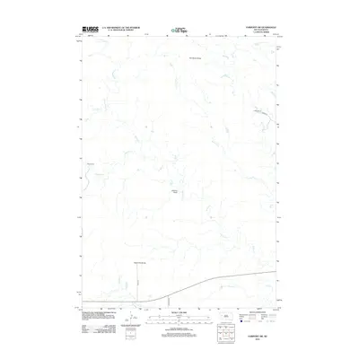
2012 Map of Fairpoint SW
USGS Topo · Published 2012About this map
The high plains of Meade County are defined by a complex network of seasonal drainages, as seen in this 2012 survey. Topographical prominence is concentrated at Elm Butte Divide and Eightmile Divide, which separate the various tributaries of the Elm Creek system. The landscape is marked by the agricultural presence of Glenn Ranch in the west and Chaffee Ranch in the northeast, reflecting the enduring ranching economy of this South Dakota region.
Find a feature on this map
14 named features on this map. Tap any name to fly to it.
Don’t see what you’re looking for? This feature index may not catch every label — zoom into the map to look around manually.
Map Details
Editions of this 2012 Fairpoint SW Map
This is the sole edition of this map. No revisions or reprints were ever made.
Other maps of this area

1893 · Rapid
USGS Topo · 1:125,000

1898 · Rapid
USGS Topo · 1:125,000

1903 · Rapid
USGS Topo · 1:125,000

1913 · Newell
USGS Topo · 1:125,000

1951 · Volunteer SE
USGS Topo · 1:24,000

1953 · Hereford
USGS Topo · 1:24,000

1953 · Rapid City 1 NE
USGS Topo · 1:24,000

1953 · Hereford NE
USGS Topo · 1:24,000

1953 · Rapid City
USGS Topo · 1:250,000

1957 · Rapid City
USGS Topo · 1:250,000