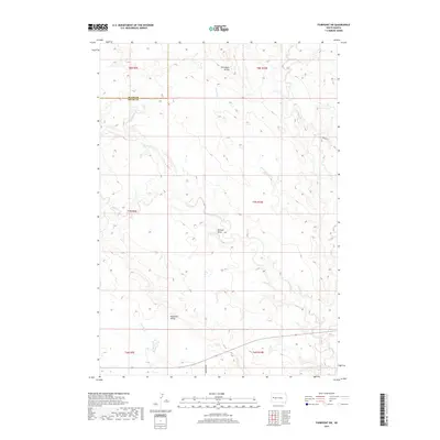
2017 Map of Fairpoint SW
USGS Topo · Published 2017About this map
Elm Butte Divide and Eightmile Divide define the high ground of this West River landscape, where the prairie is carved by a complex network of seasonal drainages. This high plains territory at the Butte and Meade county line is dominated by the upper reaches of the Elm Creek system, including W Elm Cr, Dry Elm Cr, and the winding Crooked Elm Cr. The lack of named towns or concentrated settlements highlights the expansive ranching character of the region, where land use is dictated by the availability of water at features like Browns Draw and the course of Eightmile Creek. Transportation is sparse, represented only by the foundational paths of Hereford Rd and Laredo Pl cutting through the vast township sections of this South Dakota interior.
Find a feature on this map
18 named features on this map. Tap any name to fly to it.
Don’t see what you’re looking for? This feature index may not catch every label — zoom into the map to look around manually.
Map Details
Editions of this 2017 Fairpoint SW Map
This is the sole edition of this map. No revisions or reprints were ever made.
Other maps of this area

1893 · Rapid
USGS Topo · 1:125,000

1898 · Rapid
USGS Topo · 1:125,000

1903 · Rapid
USGS Topo · 1:125,000

1913 · Newell
USGS Topo · 1:125,000

1951 · Volunteer SE
USGS Topo · 1:24,000

1953 · Hereford
USGS Topo · 1:24,000

1953 · Rapid City 1 NE
USGS Topo · 1:24,000

1953 · Hereford NE
USGS Topo · 1:24,000

1953 · Rapid City
USGS Topo · 1:250,000

1957 · Rapid City
USGS Topo · 1:250,000