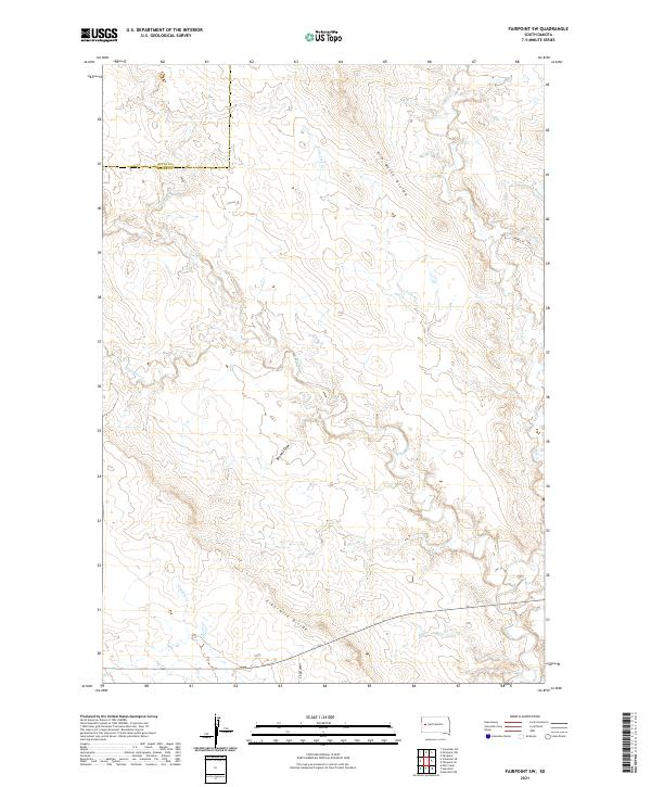
2021 Map of Fairpoint SW
USGS Topo · Published 2021About this map
Elm Butte Divide and Eightmile Divide define the high ground of this ranching landscape in western South Dakota. The drainage pattern is the most prominent characteristic of the map, with numerous ephemeral waterways such as Elm Cr, Lone Tree Cr, and W Elm Cr carving deep into the plains. The boundary between Butte Co and Meade Co runs along the northern edge of the sheet, where Crooked Elm Cr winds across the section lines. The sparse human footprint in this era is represented by only a handful of named thoroughfares like Hereford Rd and Laredo Pl, reflecting a landscape dedicated to wide-open cattle country and intermittent seasonal flows like Eightmile Cr and Browns Draw.
Find a feature on this map
18 named features on this map. Tap any name to fly to it.
Don’t see what you’re looking for? This feature index may not catch every label — zoom into the map to look around manually.
Map Details
Editions of this 2021 Fairpoint SW Map
This is the sole edition of this map. No revisions or reprints were ever made.
Other maps of this area

1893 · Rapid
USGS Topo · 1:125,000

1898 · Rapid
USGS Topo · 1:125,000

1903 · Rapid
USGS Topo · 1:125,000

1913 · Newell
USGS Topo · 1:125,000

1951 · Volunteer SE
USGS Topo · 1:24,000

1953 · Hereford
USGS Topo · 1:24,000

1953 · Rapid City 1 NE
USGS Topo · 1:24,000

1953 · Hereford NE
USGS Topo · 1:24,000

1953 · Rapid City
USGS Topo · 1:250,000

1957 · Rapid City
USGS Topo · 1:250,000