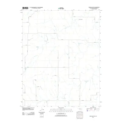
2012 Map of Fairvalley SE
USGS Topo · Published 2012About this map
Highland Cem stands as a quiet focal point in this portion of Woodward County, situated among a network of rural roads that define the local township structure. The landscape is heavily influenced by water management, featuring several named ranch or farm impoundments including Bingham Reservoir, Lockhart Reservoir, and Gardner Number 1 Reservoir. These small-scale water bodies are essential features of the agricultural terrain, often linked to seasonal drainages like Chimney Cr and Sand Cr.
Find a feature on this map
35 named features on this map. Tap any name to fly to it.
Don’t see what you’re looking for? This feature index may not catch every label — zoom into the map to look around manually.
Map Details
Editions of this 2012 Fairvalley SE Map
This is the sole edition of this map. No revisions or reprints were ever made.
Other maps of this area

1955 · Woodward
USGS Topo · 1:250,000

1958 · Woodward
USGS Topo · 1:250,000

1969 · Belva
USGS Topo · 1:24,000

1969 · Quinlan
USGS Topo · 1:24,000

1969 · Waynoka NW
USGS Topo · 1:24,000

1969 · Mooreland
USGS Topo · 1:24,000

1969 · Waynoka West
USGS Topo · 1:24,000

1970 · Fairvalley SW
USGS Topo · 1:24,000

1970 · Alabaster Caverns
USGS Topo · 1:24,000

1970 · Fairvalley SE
USGS Topo · 1:24,000