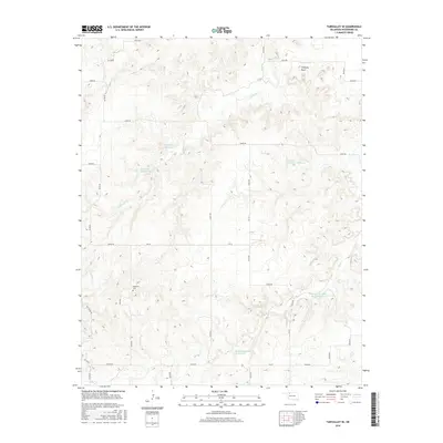
2016 Map of Fairvalley SE
USGS Topo · Published 2016About this map
Chimney Creek and Sand Creek carve through the dissected plains of Woodward County, defining a landscape marked by sophisticated water management for ranching and agriculture. The terrain is punctuated by distinctive landforms, most notably Chimney Rock in the northeast, which provides a landmark for the surrounding hills. A series of private and named water storage sites, including Bingham Reservoir, Lockhart Reservoir, and Gardner Number 1 Reservoir, illustrate the necessity of capturing runoff in this semi-arid region. Cultural markers are sparse but significant for local history, including the Highland Cemetery situated near the western edge. The modern road network follows the section-line grid characteristic of the Southern Plains, with routes like E0350 Road and Ew 32 providing access to the distributed Matteson Number 2 and Matteson Number 2b sites.
Find a feature on this map
22 named features on this map. Tap any name to fly to it.
Don’t see what you’re looking for? This feature index may not catch every label — zoom into the map to look around manually.
Map Details
Editions of this 2016 Fairvalley SE Map
This is the sole edition of this map. No revisions or reprints were ever made.
Other maps of this area

1955 · Woodward
USGS Topo · 1:250,000

1958 · Woodward
USGS Topo · 1:250,000

1969 · Belva
USGS Topo · 1:24,000

1969 · Quinlan
USGS Topo · 1:24,000

1969 · Waynoka NW
USGS Topo · 1:24,000

1969 · Mooreland
USGS Topo · 1:24,000

1969 · Waynoka West
USGS Topo · 1:24,000

1970 · Fairvalley SW
USGS Topo · 1:24,000

1970 · Alabaster Caverns
USGS Topo · 1:24,000

1970 · Fairvalley SE
USGS Topo · 1:24,000