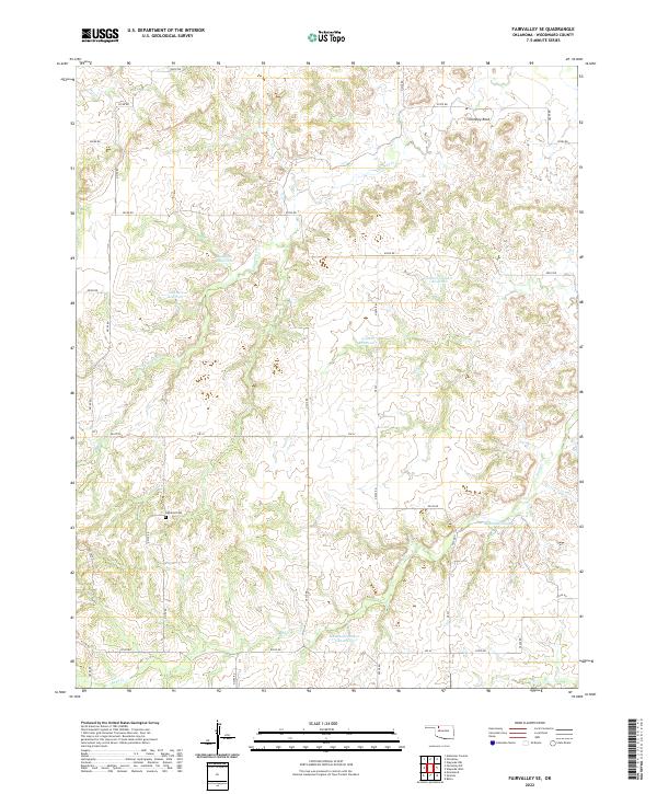
2022 Map of Fairvalley SE
USGS Topo · Published 2022About this map
Highland Cem stands as a focal point for family history in this corner of Woodward County, situated amidst the dissected plains north of the North Canadian River valley. The landscape is defined by a dense network of intermittent drainages including Chimney Cr and Sand Cr, which have carved deep draws into the prairie. A series of small-scale water management projects are evident across the terrain, notably the Matteson Number 2 Reservoir, Lockhart Reservoir, and Bingham Reservoir. These features, along with landmarks like Chimney Rock, illustrate the rural character and land use of the region in the early 21st century. The map reveals a strictly regulated section-line road grid, including Ew 32 and NS 223, which provides access to these remote ranching and agricultural lands.
Find a feature on this map
42 named features on this map. Tap any name to fly to it.
Don’t see what you’re looking for? This feature index may not catch every label — zoom into the map to look around manually.
Map Details
Editions of this 2022 Fairvalley SE Map
This is the sole edition of this map. No revisions or reprints were ever made.
Other maps of this area

1955 · Woodward
USGS Topo · 1:250,000

1958 · Woodward
USGS Topo · 1:250,000

1969 · Belva
USGS Topo · 1:24,000

1969 · Quinlan
USGS Topo · 1:24,000

1969 · Waynoka NW
USGS Topo · 1:24,000

1969 · Mooreland
USGS Topo · 1:24,000

1969 · Waynoka West
USGS Topo · 1:24,000

1970 · Fairvalley SW
USGS Topo · 1:24,000

1970 · Alabaster Caverns
USGS Topo · 1:24,000

1970 · Fairvalley SE
USGS Topo · 1:24,000