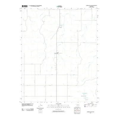
2010 Map of Fairvalley SW
USGS Topo · Published 2010About this map
Water management and agricultural drainage define this section of Woodward County, Oklahoma. The landscape is marked by a complex network of creeks, including Slicker Creek and Long Creek, which feed into various small-scale impoundments and reservoirs. These water features, such as Richmond Reservoir and Ames Reservoir, represent the critical infrastructure required for land use in this part of the state, where reliable water access is essential.
Find a feature on this map
30 named features on this map. Tap any name to fly to it.
Don’t see what you’re looking for? This feature index may not catch every label — zoom into the map to look around manually.
Map Details
Editions of this 2010 Fairvalley SW Map
This is the sole edition of this map. No revisions or reprints were ever made.
Other maps of this area

1955 · Woodward
USGS Topo · 1:250,000

1958 · Woodward
USGS Topo · 1:250,000

1969 · Quinlan
USGS Topo · 1:24,000

1969 · Mooreland
USGS Topo · 1:24,000

1969 · Woodward NE
USGS Topo · 1:24,000

1970 · Fairvalley SW
USGS Topo · 1:24,000

1970 · Alabaster Caverns
USGS Topo · 1:24,000

1970 · Fairvalley SE
USGS Topo · 1:24,000

1970 · Fairvalley
USGS Topo · 1:24,000

1970 · Sleeping Bear Creek SE
USGS Topo · 1:24,000