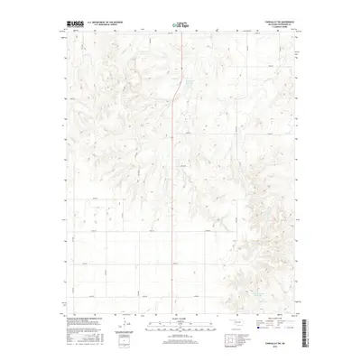
2016 Map of Fairvalley SW
USGS Topo · Published 2016About this map
Long Cr and Chimney Cr carve through this section of Woodward County, defining a landscape marked by intermittent watercourses and agricultural water management. The 2016 survey illustrates a modern rural layout where section line roads like E0270 Rd and N2120 Rd create a precise grid across the varied elevation. This area is punctuated by several named water impoundments, including the centrally located Richmond Reservoir and the Cockerill Number 2 Reservoir to the south. These features, alongside Ames Reservoir, highlight the critical role of water storage in this part of Oklahoma. The intricate drainage patterns of Sheker Cr and Doe Cr show the natural erosion of the plains, providing a detailed look at the local topography before these streams reach the larger Sand Cr system.
Find a feature on this map
26 named features on this map. Tap any name to fly to it.
Don’t see what you’re looking for? This feature index may not catch every label — zoom into the map to look around manually.
Map Details
Editions of this 2016 Fairvalley SW Map
This is the sole edition of this map. No revisions or reprints were ever made.
Other maps of this area

1955 · Woodward
USGS Topo · 1:250,000

1958 · Woodward
USGS Topo · 1:250,000

1969 · Quinlan
USGS Topo · 1:24,000

1969 · Mooreland
USGS Topo · 1:24,000

1969 · Woodward NE
USGS Topo · 1:24,000

1970 · Fairvalley SW
USGS Topo · 1:24,000

1970 · Alabaster Caverns
USGS Topo · 1:24,000

1970 · Fairvalley SE
USGS Topo · 1:24,000

1970 · Fairvalley
USGS Topo · 1:24,000

1970 · Sleeping Bear Creek SE
USGS Topo · 1:24,000