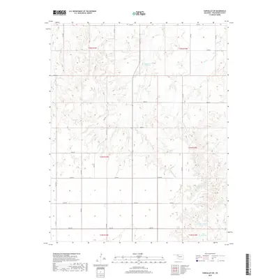
2018 Map of Fairvalley SW
USGS Topo · Published 2018About this map
Richmond Reservoir and several smaller impoundments sit among the dissected uplands of Woodward County, defining a landscape shaped by water management and rural section lines. This 2018 survey illustrates a complex drainage network where Long Cr and Doe Cr carve through the terrain, joined further south by the winding paths of Chimney Cr and Slicker Cr. The map reveals the precise grid of the Public Land Survey System, including the junction of Townships 24 and 25 North across Ranges 18 and 19 West. Beyond the natural watercourses, the presence of the Cockerill Number Reservoir and Ames Reservoir indicates a focus on localized water storage for ranching or conservation in this part of Oklahoma. A dense network of county roads, such as e0300 RD and n2140 RD, provides the primary infrastructure for this sparsely populated agricultural region.
Find a feature on this map
32 named features on this map. Tap any name to fly to it.
Don’t see what you’re looking for? This feature index may not catch every label — zoom into the map to look around manually.
Map Details
Editions of this 2018 Fairvalley SW Map
This is the sole edition of this map. No revisions or reprints were ever made.
Other maps of this area

1955 · Woodward
USGS Topo · 1:250,000

1958 · Woodward
USGS Topo · 1:250,000

1969 · Quinlan
USGS Topo · 1:24,000

1969 · Mooreland
USGS Topo · 1:24,000

1969 · Woodward NE
USGS Topo · 1:24,000

1970 · Fairvalley SW
USGS Topo · 1:24,000

1970 · Alabaster Caverns
USGS Topo · 1:24,000

1970 · Fairvalley SE
USGS Topo · 1:24,000

1970 · Fairvalley
USGS Topo · 1:24,000

1970 · Sleeping Bear Creek SE
USGS Topo · 1:24,000