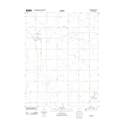
2012 Map of Fairview
USGS Topo · Published 2012About this map
Fairview and Powhattan serve as the primary anchors of this Kansas prairie landscape, where the grid of section-line roads like Coyote Rd and Falcon Rd defines the agricultural layout of Brown County. The terrain is intricately carved by a network of waterways, including the southward-flowing Delaware River and the eastern-reaching Wolf River. These stream valleys provided the natural drainage and original settlement points for the farming families who established the many local burial grounds found throughout the quadrangle.
Find a feature on this map
44 named features on this map. Tap any name to fly to it.
Don’t see what you’re looking for? This feature index may not catch every label — zoom into the map to look around manually.
Map Details
Editions of this 2012 Fairview Map
This is the sole edition of this map. No revisions or reprints were ever made.
Other maps of this area

1888 · Hiawatha
USGS Topo · 1:125,000

1894 · Hiawatha
USGS Topo · 1:125,000

1950 · Kansas City
USGS Topo · 1:250,000

1954 · Kansas City
USGS Topo · 1:250,000

1956 · Kansas City
USGS Topo · 1:250,000
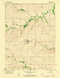
1959 · Morrill
USGS Topo · 1:24,000

1960 · Kansas City
USGS Topo · 1:250,000
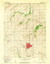
1960 · Sabetha
USGS Topo · 1:24,000

1960 · Fairview
USGS Topo · 1:24,000
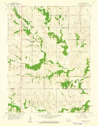
1960 · Horton NW
USGS Topo · 1:24,000