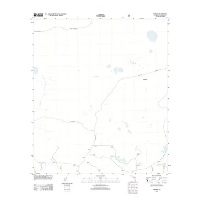
2012 Map of Fairview
USGS Topo · Published 2012About this map
The quiet settlement of Fairview anchors this portion of northern Florida, characterized by a network of rural roads and scattered wetlands. The landscape is defined by its forestry and hunting utility, prominently featuring the Benton Lookout Tower in the northern reaches and the Sandhill Hunt Camp to the southeast. These landmarks, along with local drainage from Little Cr, suggest an area deeply integrated with timber management and seasonal recreation.
Find a feature on this map
12 named features on this map. Tap any name to fly to it.
Don’t see what you’re looking for? This feature index may not catch every label — zoom into the map to look around manually.
Map Details
Editions of this 2012 Fairview Map
This is the sole edition of this map. No revisions or reprints were ever made.
Other maps of this area

1954 · Valdosta
USGS Topo · 1:250,000

1955 · Council
USGS Topo · 1:24,000

1955 · Fargo SW
USGS Topo · 1:24,000

1956 · Sargent
USGS Topo · 1:24,000

1958 · Valdosta
USGS Topo · 1:250,000

1959 · Valdosta
USGS Topo · 1:250,000

1961 · Deep Creek
USGS Topo · 1:24,000

1961 · White Springs East
USGS Topo · 1:24,000

1967 · Sargent
USGS Topo · 1:24,000

1969 · Sanderson NW
USGS Topo · 1:24,000